Terrain
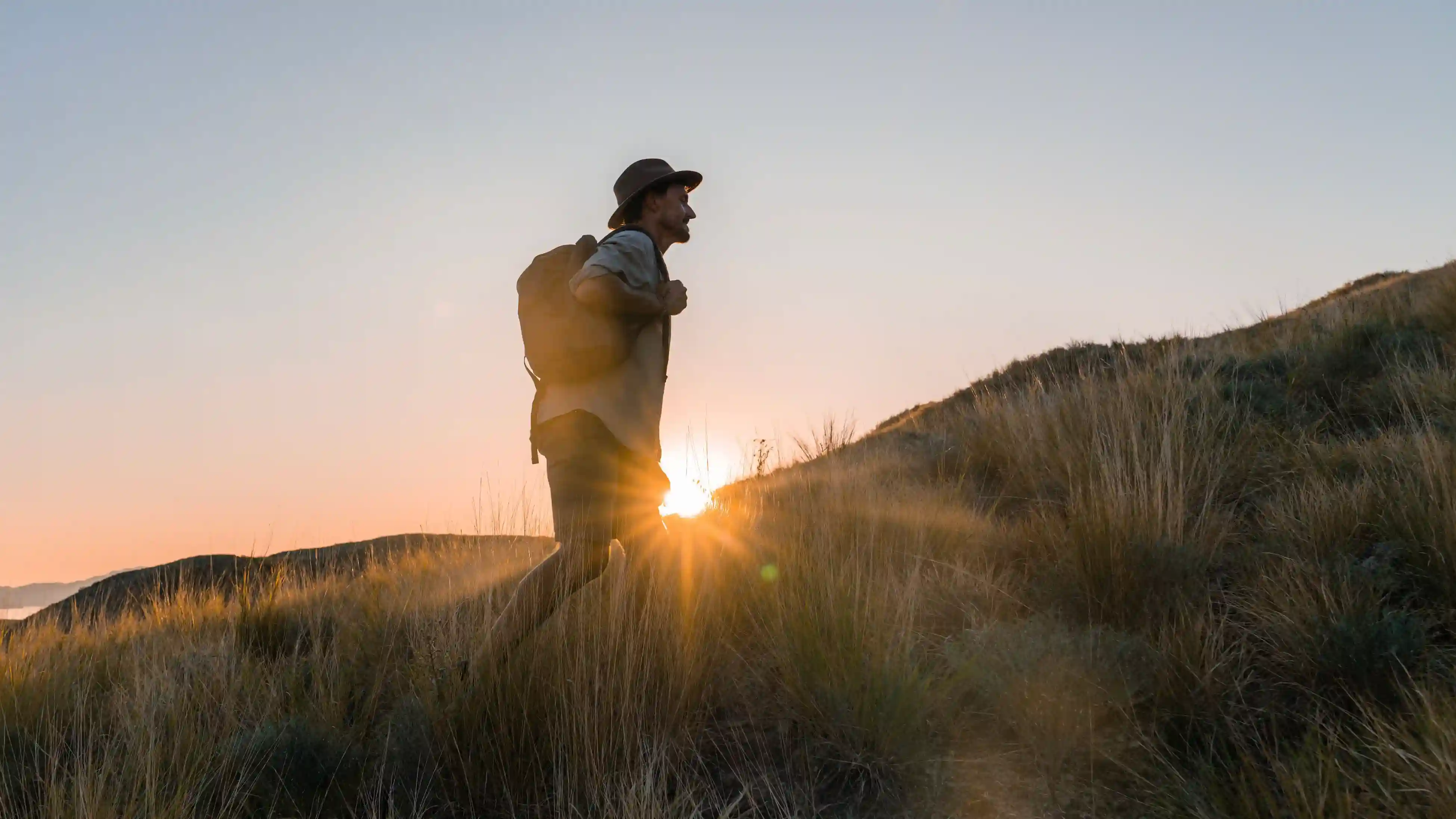
Open savanna gives long sightlines, which is why sightings feel more reliable here than in denser cover.
Plan Your Visit
Size, height, coordinates and population, each traced to a dated source rather than repeated from another guide.
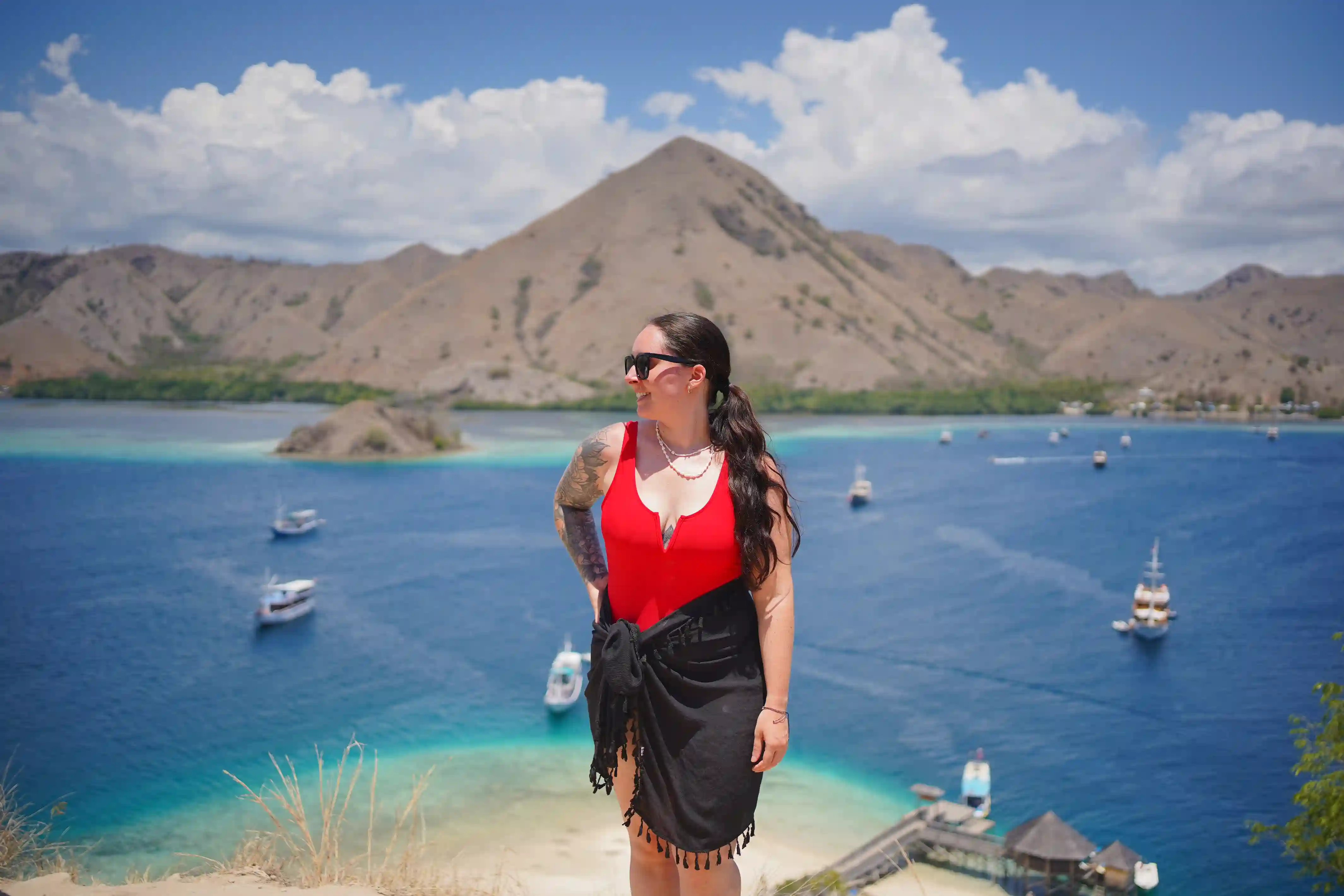
Plan a VisitRinca sits at roughly 8°42′S, 119°41′E inside Komodo National Park, in East Nusa Tenggara. Its terrain is dry savanna hills, mangrove-fringed bays and pockets of dry forest.
Context
Figures on their own explain very little. These are the ones that change how a visit feels.
Open savanna gives long sightlines, which is why sightings feel more reliable here than in denser cover.
A large population on a compact island, concentrated near the ranger post where prey and water are.
Visitors see a small fraction of 198 km². The trails cover a few kilometres around one bay.
Volcanic in origin, like the rest of the arc, which is what produced the ridgelines you walk along.
Komodo Luxury can put you on the trail at the hour the numbers actually come alive.