Jetty & boardwalk
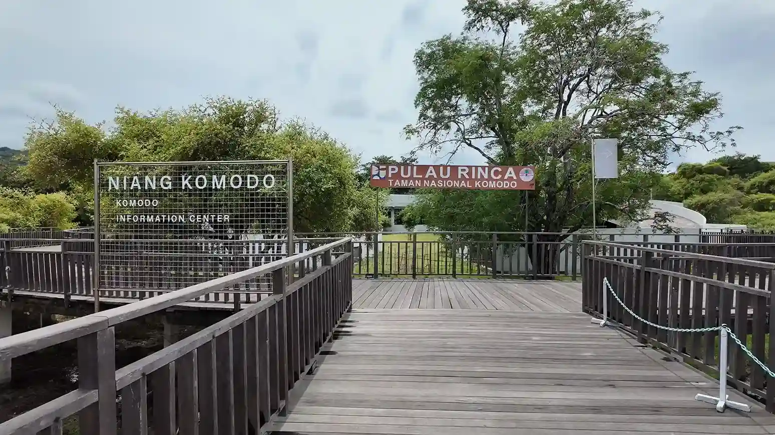
Boats tie up at a wooden jetty; a raised boardwalk crosses the mangrove flat to the ranger post.
Wildlife & Trekking
Rinca covers roughly 198 km² of savanna hills and mangrove bays, and visitors reach all of it through a single point: the Loh Buaya ranger station.
Plan the CrossingRinca sits at approximately 8°42′S, 119°41′E, inside Komodo National Park in East Nusa Tenggara. There is no public ferry: every visitor arrives on a chartered boat, a shared day trip, or a liveaboard.
On the Ground
A small footprint: a jetty, a ranger post, a mangrove boardwalk and the trailheads. Plan for that rather than for a visitor centre.
Boats tie up at a wooden jetty; a raised boardwalk crosses the mangrove flat to the ranger post.
Registration, ranger assignment and the island’s only kiosk. Dragons often rest nearby.
Short, medium and long loops branch from the same point, so route choice happens on arrival.
There is no reliable data signal on the island. Download the area before you leave Labuan Bajo.
Short loop
Medium loop
Long ridge
Distances are ranger-reported and vary slightly with the route taken on the day.
Komodo Luxury can match the boat to the sea state and the season, which is the part that actually decides your day.
