
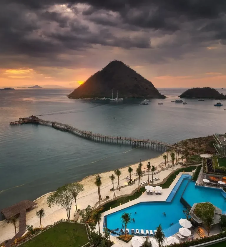
Virtual Tours of Rinca Island: Exploring from Home
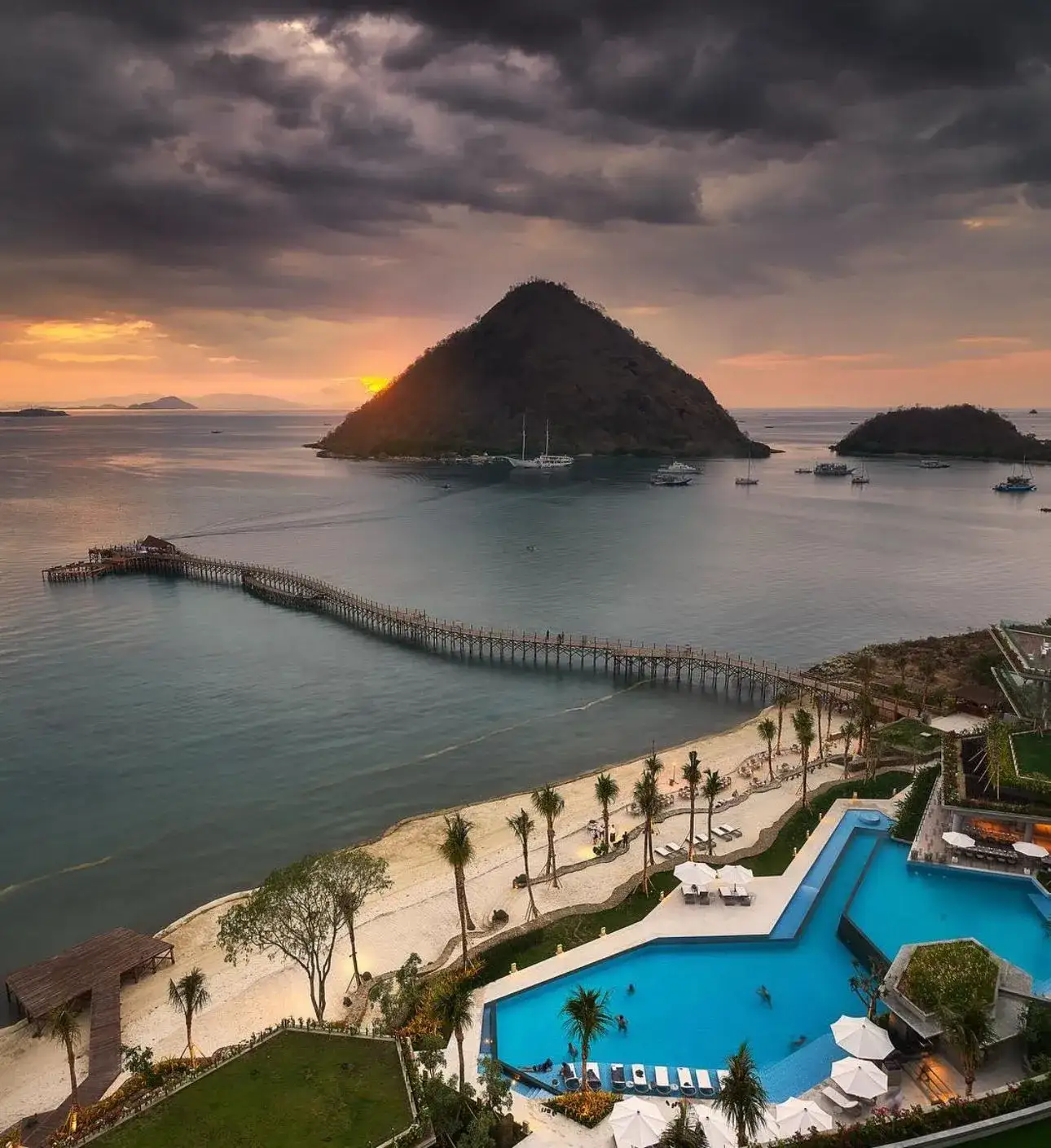
You can explore Rinca Island from home through Google Maps satellite imagery, UNESCO’s official World Heritage listing for Komodo National Park, Indonesia’s official tourism board resources, and the park authority’s own SiOra platform, which includes digital destination information alongside its booking function. There is no single official “virtual tour” video of Rinca specifically, so this page points to the most reliable resources rather than inventing one.
Not ready to book a flight, or just curious what Rinca Island actually looks like before you commit? Here are legitimate, currently live resources for exploring the island and its surrounding park from home — no fabricated virtual-tour experience, just the real official and reference sources worth your time.
Why Remote Research Matters More Since 2026
Because visits now require an advance SiOra reservation rather than a spontaneous walk-up decision, doing your research before committing to a specific date has become more practically important than it used to be. Understanding roughly what a trek involves, what the island does and doesn’t offer, and what fees to expect — before you lock in a paid reservation — avoids the disappointment of booking based on an inaccurate mental picture of the destination.
Satellite and Map Exploration
Google Maps and Google Earth both show satellite imagery of Rinca Island and the surrounding Komodo National Park waters in useful detail — search “Rinca Island” or “Loh Buaya” directly to see the island’s savanna terrain, mangrove bays, and its position relative to Komodo Island and Flores. For orientation on the ground-level layout of a typical visit — the jetty, ranger station, and trek routes — see our own Rinca Island map guide.
UNESCO World Heritage Listing
Komodo National Park’s UNESCO World Heritage Site listing (search “Komodo National Park UNESCO” for the current official page) includes background on why the park was inscribed in 1991, covering both its terrestrial and marine significance. It’s a good starting point for understanding the conservation context behind everything you’ll see on a trek.
Official Indonesian Tourism Resources
Indonesia’s official tourism board (indonesia.travel) maintains destination information for Komodo National Park, useful for general orientation and current government-endorsed visitor guidance alongside the park authority’s own tariff and regulation publications linked throughout this page.
The Park Authority’s Own Digital Resources
Balai Taman Nasional Komodo, the park authority, publishes official tariff and regulation information directly on its official tariff page (archived copy, 11 Feb 2026 — the live page is currently returning a server error). The SiOra platform (siora.id) also includes destination information and park zone navigation as part of its digital-interpretation features, alongside its booking function — see our SiOra guide for what the platform actually covers.
What Photos and Video Won’t Show You
Satellite imagery and photos are useful for orientation, but they don’t convey the heat, the specific dry-savanna smell, or the genuine caution a ranger-led trek requires around wild Komodo dragons — something worth knowing before you go rather than after. If you’re using virtual exploration to decide whether Rinca is right for you, our wildlife guide and family trip guide cover the practical realism of an actual visit better than any photo can.
Using These Resources to Plan a Real Trip
If virtual exploration convinces you to actually go, the same sources are useful for trip planning: check current entrance fees and the SiOra booking requirement before you travel (our entrance fee guide covers this in full), and use satellite imagery mainly for general orientation rather than precise on-the-ground navigation, since ranger-led treks don’t require you to navigate independently anyway.
Turning Virtual Research Into a Real Trip Plan
The most useful way to combine these resources is sequential: start with satellite imagery for general orientation, read the UNESCO listing and official tourism resources for context on why the park matters, then move to our own detailed guides — entrance fees, wildlife, trail map, and family-fit — for the practical decisions that actually shape your booking. Treating virtual exploration as the first step of trip planning, rather than a substitute for it, is the most productive way to use these resources.
Documentaries and Educational Content
Komodo dragons and their island habitat have been the subject of nature documentaries from major broadcasters over the years, generally more useful for understanding dragon biology and behavior in depth than for orientation around Rinca Island’s specific visitor logistics. Search a reputable streaming platform or broadcaster’s own library directly for current availability, since specific titles and licensing change over time and a fixed link here would likely go stale.
Using Social Media Research Responsibly
Travel videos and photos from recent visitors on social platforms can be genuinely useful for a current, ground-level view of Rinca Island — more current than an official resource that’s updated infrequently. Treat individual travelers’ claims about fees, rules, or wildlife sightings as anecdotal rather than authoritative, though, and cross-check anything that affects your actual planning (fees, booking requirements) against the official sources listed above rather than a single social post.
Frequently Asked Questions
Is there an official virtual tour of Rinca Island?
Not a single dedicated official virtual-tour experience specific to Rinca. The most reliable ways to explore remotely are satellite imagery, UNESCO’s World Heritage listing, and official Indonesian tourism and park authority resources.
Can you see Rinca Island on Google Maps?
Yes. Search “Rinca Island” or “Loh Buaya” directly in Google Maps or Google Earth for satellite imagery of the terrain and surrounding waters.
Where can you learn about Komodo National Park’s UNESCO status?
The UNESCO World Heritage listing for Komodo National Park covers its inscription in 1991 and why it was recognized — search “Komodo National Park UNESCO World Heritage” for the current official page.
Does the SiOra app include destination information, not just bookings?
Yes. Alongside e-ticketing, SiOra includes park zone navigation and multi-language destination information as part of its digital-interpretation features.
Should you rely on virtual exploration instead of a guidebook before visiting?
Use both together — satellite imagery and official sources are good for orientation, while a detailed guide (like our wildlife and trail map pages) covers the practical, on-the-ground realities better.
Are there live webcams of Rinca Island or Komodo National Park?
Not a dedicated, officially maintained live webcam that we can point to as reliably available — satellite imagery and periodically updated official sources remain the more dependable option for remote viewing.
Can you get a realistic sense of the trekking experience without visiting?
Photos and satellite views help with orientation, but the heat, the ranger-led safety protocol, and the genuine presence of wild Komodo dragons are things most visitors say only really land once you’re actually there.
Is it worth watching multiple sources before deciding to book?
Yes — cross-referencing an official source, a detailed guide, and a couple of recent traveler accounts gives a more balanced picture than relying on any single source, especially for a trip involving real cost and advance booking commitments.
Can teachers or students use these resources for educational purposes?
Yes — the UNESCO listing and official tourism resources are appropriate for general educational use; just verify currency of any figures against the dated sources linked throughout this site.
Can virtual research help you choose between Rinca and Komodo Island in advance?
To some extent — satellite imagery and our own comparison guide can inform your choice, though many travelers find the decision easier once they’ve also reviewed practical factors like trip length and budget alongside the visual research.
Last updated: 25 August 2026.
Ready to move from browsing to booking? Check current entrance fees and permits, or book a Rinca Island boat tour with Komodo Luxury.
Quick Facts & Related Questions
- How do you get to Pulau Rinca from Surabaya? Surabaya connects to Labuan Bajo via domestic flight before the boat crossing to Rinca.
- How do you get to Pulau Rinca from Yogyakarta? Yogyakarta connects to Labuan Bajo via domestic flight, usually with a change in Bali or Jakarta.
- For anyone planning the real trip after the virtual tour: there is no direct scheduled service from Australia, so the usual route connects through Bali or Jakarta before the flight to Labuan Bajo.
Komodo Luxury translates the satellite views and planning tools you have used to explore Rinca Island into practical itineraries on the water, from a flexible one-day Komodo sailing trip focused on key viewpoints and ranger-led walks to longer Komodo liveaboard journeys and tailored private boat charter options that combine Rinca with nearby islands, snorkelling sites, and time in Labuan Bajo.
Keep Reading
Travel Journal
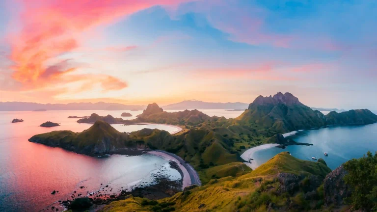
Photographing Rinca Island: Gear, Light & Ethics
For photographing Rinca Island, a mid-range zoom (roughly 70-200mm equivalent) covers both wildlife at a safe distance and landscape shots…
Travel Journal
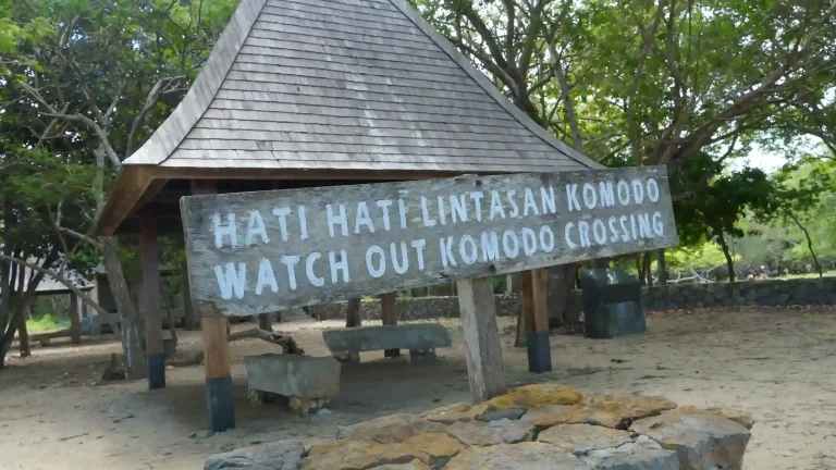
Rinca Island Visitor Quota: How the Daily Limit Works
Komodo National Park limits visitors to 1,000 people per day across the whole park, split into three scheduled sessions of…
Travel Journal
The Future of Eco-Tourism on Rinca Island
Last updated: August 25, 2026. Eco-tourism on Rinca Island is shaped by a straightforward tension that isn't going away: the…